Why We Use TopCon GPS on all of our Excavation Equipment
- Anthony Chiofalo
- May 7
- 2 min read

We all rely on phone GPS to navigate when driving, but modern GPS technology can actually do a lot more than that. Could you imagine if satellites guided a 40-ton excavator with sub-inch accuracy? Well, they can. And that's exactly why we use Topcon GPS on all of our excavation equipment.
Topcon systems act like a high-tech ruler, projecting a digital blueprint directly over the dirt. By following this invisible design, we deliver precision 3D machine-controlled benefits that prevent costly over-digging.
No More Wooden Stakes: Why Satellite Precision Beats the Old String-and-Tape Method

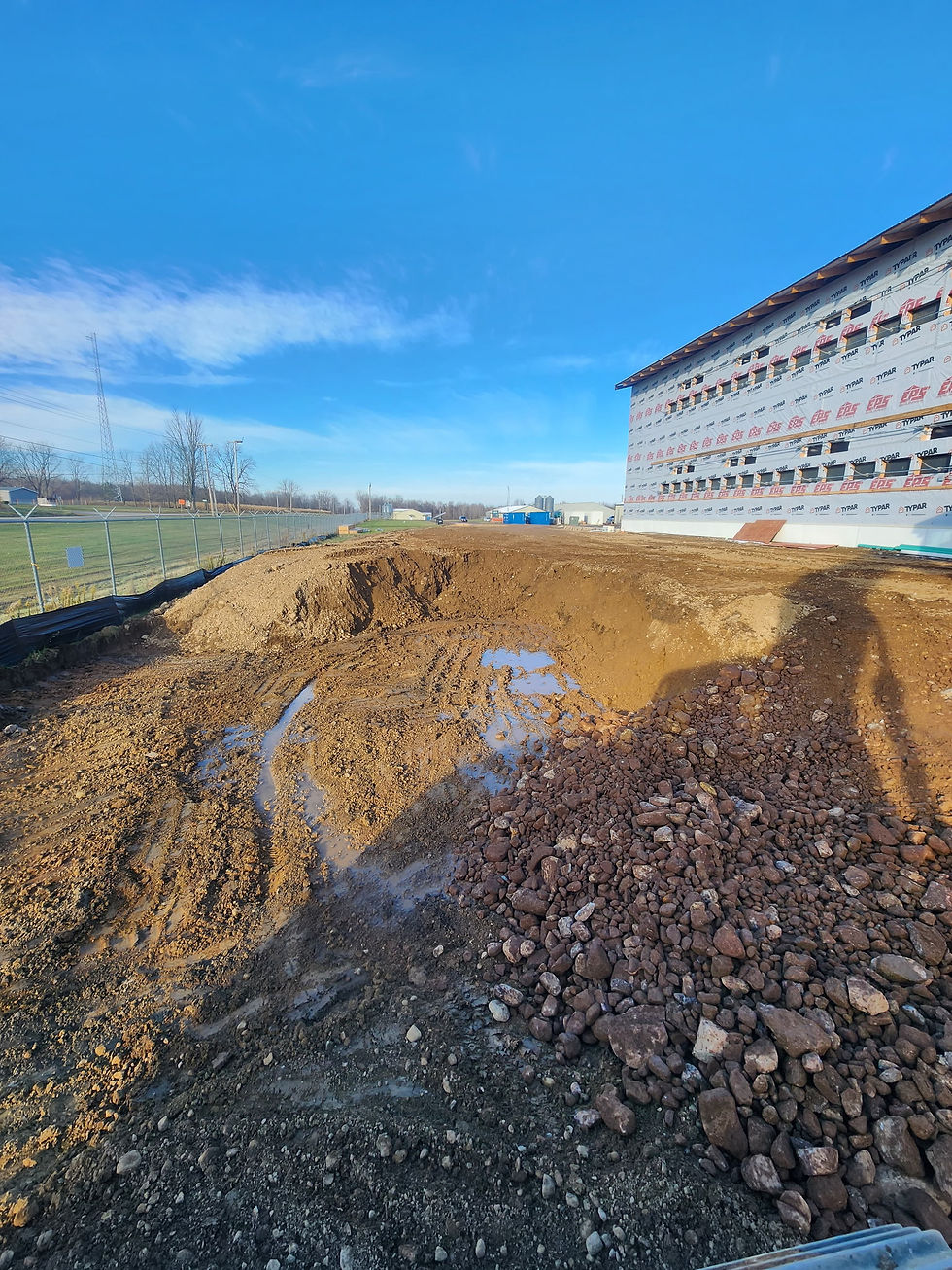
In the past, someone with a wooden stake and string guessed where to dig. Today, we've eliminated manual grade stakes on excavation sites and now rely on satellites instead.
When looking at Topcon vs traditional surveying methods, the major difference is how we achieve "grade"—the exact required level of the land. Even small inaccuracies can cause problems—puddles form on driveways because of poor tolerance, which is the tiny amount of allowable wiggle room in a measurement.
Here is how Topcon GPS improves grading accuracy to the strict tolerance over human hands:
It guides the heavy machine's blade within the thickness of a dime.
It never gets tired or misreads a tape measure.
It handles complex water drainage slopes automatically.
This precision prevents the nightmare of "rework"— the expensive mistake of fixing errors and digging the same hole twice. By reducing excavation rework with GPS technology, the job gets done perfectly the first time. This exactness naturally leads to faster digging and safer sites.
Faster Digging and Safer Sites: The Hidden Benefits of 3D Machine Control
Imagine having the entire project blueprint right inside the dashboard. Using real-time digital terrain model integration—a 3D map of the finished job—the operator sees exactly where to move the dirt without second-guessing. This instant feedback loop works alongside GNSS receivers for earthmoving equipment (the satellite antennas on the roof) to increase digging speed by 30% or more.
Finding heavy equipment operator efficiency tips usually points to faster machinery, but true speed comes from constant information. Because the screen updates instantly as the bucket moves, the operator knows the exact moment they hit the perfect depth. This real-time data eliminates stopping to check measurements, leading to much faster project completion times.
Beyond just saving time, improving jobsite safety through machine control is an incredible hidden benefit. Historically, workers had to stand dangerously close to 40-ton excavators to manually double-check the grade. Now, the machine measures everything itself, keeping people out of harm's way.
Why Precision Technology Is the Smartest Investment for Your Project
Construction technology for high-precision digging directly protects your budget. Hitting perfect depth instantly eliminates wasted materials and fuel, delivering true automated grade control system ROI through unmatched speed, accuracy, and safety. Site management software for excavation fleets guarantees quality; it isn't just a fancy extra. Demand this exact precision. Ask your contractor if they use satellites before moving a single scoop of dirt.
Lewis Excavating uses Topcon GPS for all the reasons you just read. If you want to understand more or learn how we do our work to get you the best results, call us anytime.